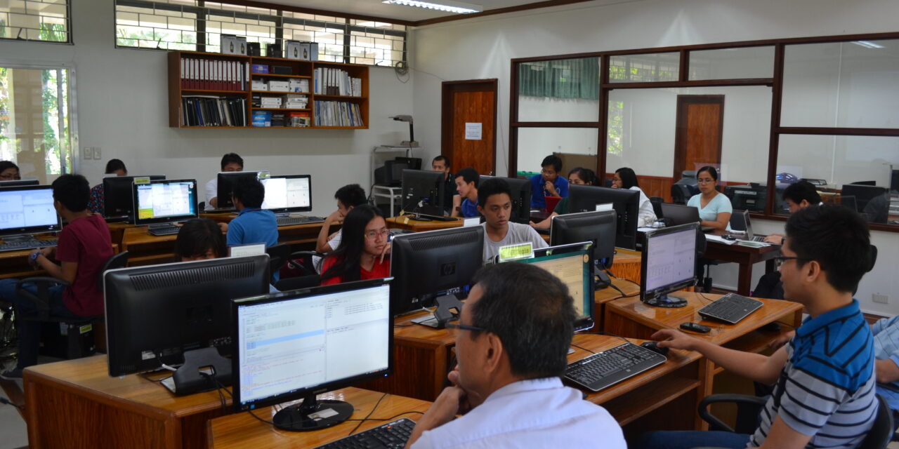
Environmental Remote Sensing and Geo-Information Laboratory
A pioneering laboratory of UPLB in the field of Geographic Information System (GIS) and Remote Sensing (GS) and its application to Forestry and Natural Resources management.
History
The laboratory was established in 1992 and was formerly known as the UPLB Geographic Information System (GIS) and Remote Sensing (RS) Laboratory. It mainly served as an arm of the Australian-funded project on GIS and RS, and its training component was based on UP Diliman. In September 18, 1997, the laboratory was renamed to Environmental Remote Sensing and Geo-Information (ERSG) Laboratory through an Executive Order from the College of Forestry and Natural Resources. ERSG is one of the laboratories under the Institute of Renewable Natural Resources (IRNR), CFNR, UP Los Baños, College, Laguna.
Functions
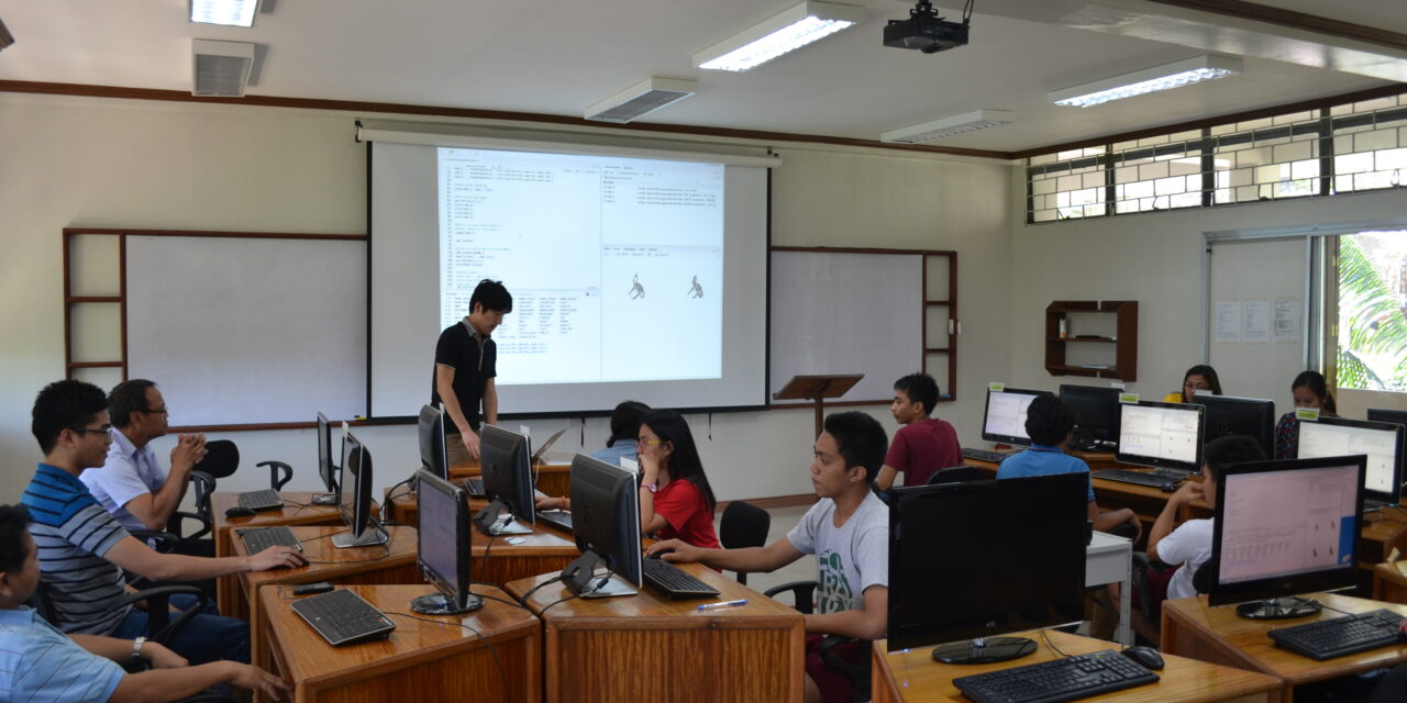
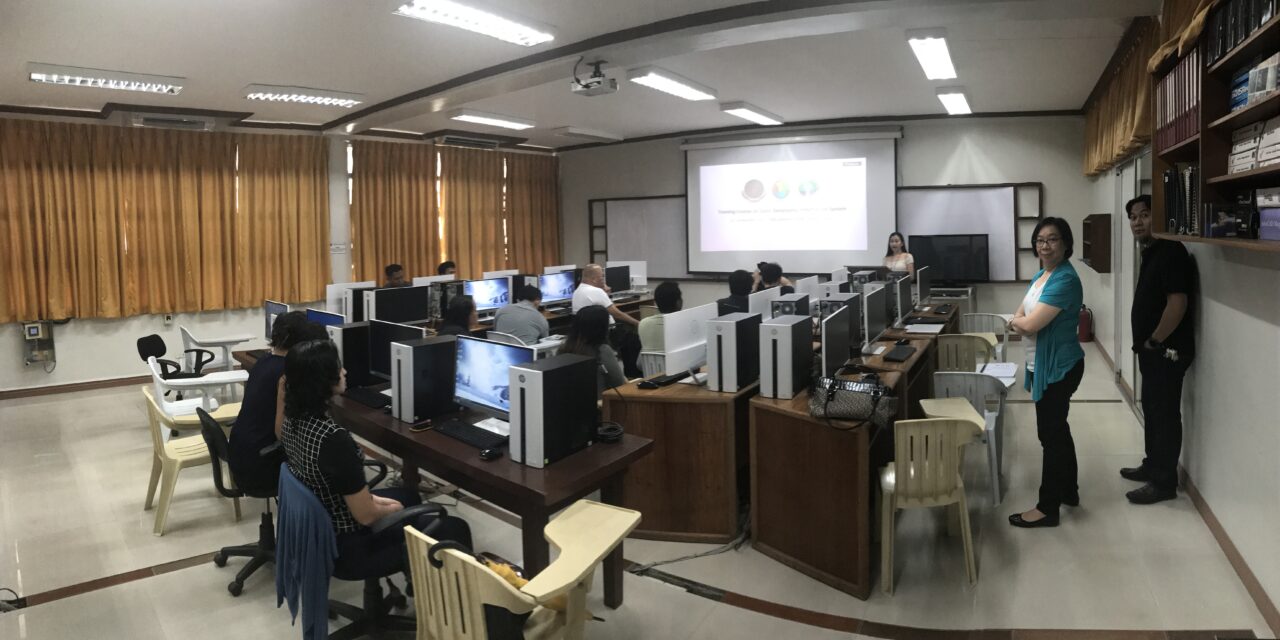
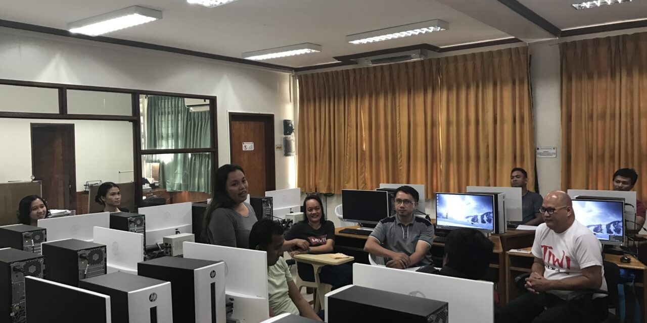
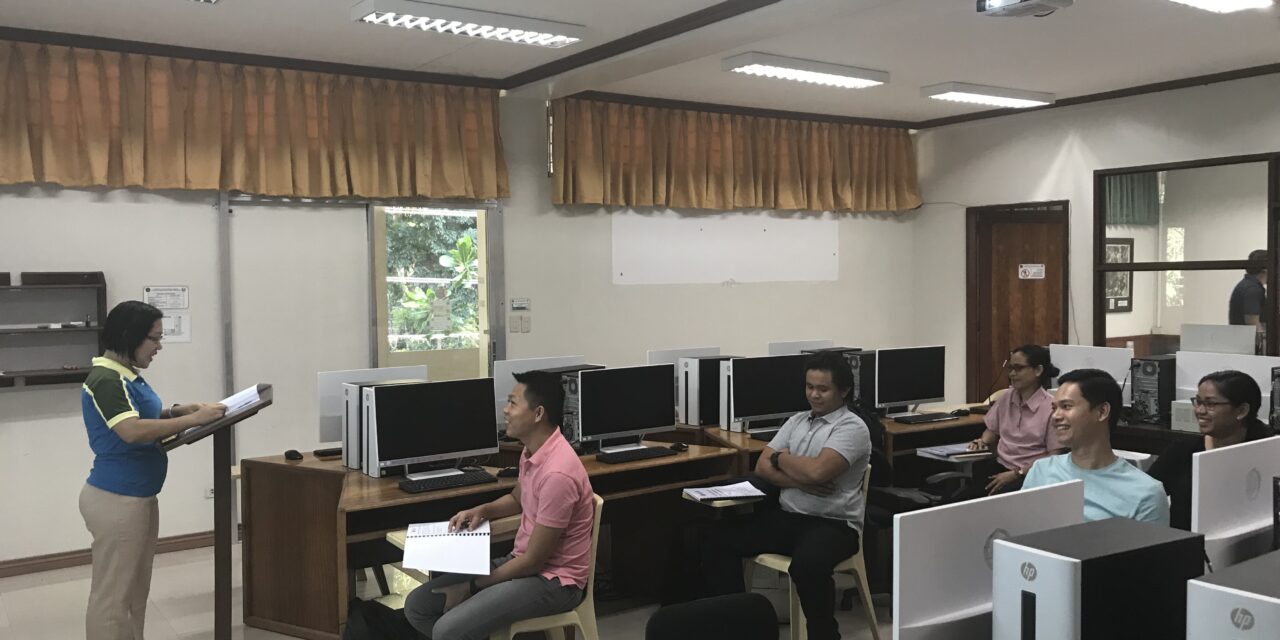
- 1. Conduct training and seminars for the users in the College – planners, programmers, technicals and educators involved in environmental resource monitoring and evaluations
- 2. Enhance the capability of the Laboratory personnel and facilities in servicing the faculty and research staff of the College in support of their instruction and extension fuctions
- 3. Provide the necessary skills and knowledge to students on the application of GIS and RS in natural resources management and conservation
- 4. Establish an effective and efficient environmental resource information support systems and tools
- 5. Conduct physical resource/facility development in support of the aforementioned activities
- 6. Source funds to finance the various activities of the Laboratory
Services
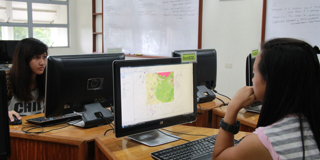
- 1. User-oriented training on Geomatics (GIS, RS, GPS)
- 2. Satellite-based position systems for survey
- 3. Development of client-oriented application systems
- 4. Database design, development and implementation
- 5. Support and advice on the use of Geomatics for the following applications:
- a. Natural Resources Management
- b. Landuse Planning
- c. Environmental Hazards and Vulnerability Studies
- d. Environmental Impact Assessment and Modelling of Mitigation Measures
- e. Biodiversity Conservation
- f. Utility Management
- g. Market Analysis
Completed Projects
- UP System Campus Landscape Masterplan
- UPLB – Los Baños – Bay 25-year Masterplan Project
- (Support to) ASEAN – Korea Environmental Cooperation Ministry of Environment, Korea
- GIS-based High Resolution Watershed ATLAS of Selected Watersheds in the Philippines (PCARRD – DOST)
- Forest and Natural Resources Data and Information Flow in the Philippines (FAO-UN)
- UP Los Baños Campus Landscape Masterplan
- The University of the Philippines Laguna-Quezon Land Grant Masterplan Project
- (Support to) Comprehensive Landuse and Development Masterplan of the Caliraya-Lumot Watershed Project (ENFOR)
- Vectorization of the Topographic Maps of Six protected Area Sites
- UP Mindanao Land Grant Masterplan Project
- Rehabilitation and Enhancement of the Landscape from NAIA to the Mouth of Pasig River (DOT)
- Development of GIS-based Furniture and Handicraft Raw Materials Resource Inventory (PCARRD-DOST)
- (Support to) Schistosomiasis Transmission and Ecology in the Philippines Project (RITM)
- GIS Encoding and Digital Image Processing of Topography and Land Cover of NPC Watersheds (NAPOCOR)
- Climate Change Projection and Assessment of Impacts: Modelling and Capacity Building Program – India and ASEAN Region
- GIS-based Inventory and Sustainability Assessment of Rubber and Cacao on Major Production Areas
- (Support to) Comprehensive Landuse and Development Masterplan of the Caliraya-Lumot Watershed Project (ENFOR)
- Project 3: Land Use Change and Impacts on Watershed of Large Impact Lakes under the Program: Ten Years After the Millenium Ecosystem Assessment of Laguna de Bay: Towards a Sustainable Future
- Capability Assessment for Rehabilitation Enhancement: Capability Development and Resilience of Ecosystems (CARE-CaDRES) Project; Project 2a. “Philippine Coral Reef and Mangrove Remote Sensing (PhilCoMaRS); Philippine Coral Reef and Mangrove Remote Sensing-LAND II.
- Formulation of the National Irrigation Master Plan (NIMP)